Icon of a drone used for land measure surveys

Drone Surveys

Drone Surveying and Mapping

Drone surveying and mapping are revolutionizing the way we conduct building inspections. Utilizing state-of-the-art drone technology, we can now efficiently inspect and map even the most challenging structures and areas. These unmanned aerial vehicles provide high-resolution imagery and data that allow for accurate assessments of building conditions, identifying potential issues before they escalate. This innovative approach not only increases the speed and accuracy of inspections but also significantly enhances safety by reducing the need for personnel to physically access risky areas. As such, drone surveying and mapping represent a significant step forward in the field of building inspection.

Building Inspections Using Drones

In the realm of building inspections, drones have emerged as a game-changer. Equipped with advanced imaging technology, drones can capture a wide range of data from various angles and heights, providing a comprehensive view of any structure. From detecting cracks and damages in hard-to-reach areas to identifying potential hazards, drones play a pivotal role in preventive maintenance and timely repair. The use of drones also minimizes human exposure to potentially dangerous situations, fostering a safer work environment. Therefore, the utilization of drones for building inspections has become an industry standard, marking a new era of efficiency and safety in infrastructure maintenance.

Thermal Imaging Using Drones

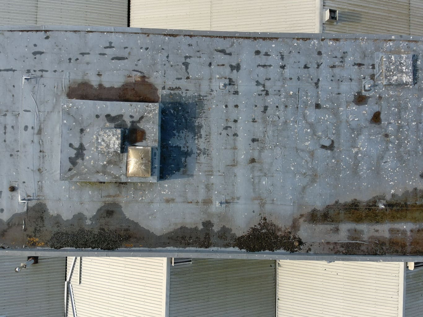
Leveraging drones for thermal imaging has dramatically enhanced the efficiency and effectiveness of building inspections. These unmanned aircraft systems are often equipped with high-resolution thermal cameras that can detect variations in temperature on the surface of a structure. This allows for the identification of potential issues that may not be visible to the naked eye, such as insulation gaps, water leaks, or thermal bridges, which could lead to more significant problems if left unattended. Furthermore, the ability of drones to safely access and survey hard-to-reach areas enables a more comprehensive and accurate thermal analysis. As a result, drone-based thermal imaging has become an essential tool in the toolbox of modern building inspections, reinforcing the commitment to safety, accuracy, and preventative maintenance.

Utility Tower and Powerline Inspections Using Drones

Drone technology has revolutionized the process of inspecting utility towers and powerlines. Traditionally, these inspections required manual labor and posed significant safety risks to workers. However, drones equipped with high-resolution cameras and advanced sensors can now safely and accurately assess these structures. This technology allows for the detection of potential issues such as corrosion, structural damage, and faulty equipment. Additionally, drones have the capability to capture detailed 3D mapping data that can be utilized for further analysis and planning. By reducing the need for human intervention in hazardous areas and offering the ability to conduct more frequent inspections, drones are driving significant advancements in the maintenance and safety of utility towers and powerlines.

Wind Turbine Inspections Using Drones

Drones have set a new standard for wind turbine inspections, offering a safer and more efficient alternative to traditional methods. High-resolution cameras and sophisticated sensors on drones can accurately identify potential issues such as blade damage, structural weaknesses, and operational inefficiencies. Their ability to fly at high altitudes and maneuver around complex structures enables a comprehensive inspection that is both quicker and less invasive. Additionally, drones can generate detailed 3D mapping of the wind turbine, aiding in precise analysis and future planning. This advancement in drone technology is resulting in considerable time and cost savings, and significantly improving the safety and efficiency of wind turbine maintenance.

Cut and Fill volume calculations for Earthworks Projects

The advent of drone technology has revolutionized earthworks calculations, particularly cut and fill volume computations. Drones equipped with high resolution cameras and advanced sensors can quickly survey large areas, collecting accurate topographical data. This data is then processed using specialized software to generate detailed 3D models of the site. These models allow for precise cut and fill calculations, identifying where and how much soil needs to be excavated or added. Not only does this improve the accuracy of project estimates, but it also enhances efficiency, reduces costs, and minimizes the risk of human error. Moreover, drones enable frequent and cost-effective site monitoring, ensuring construction progresses as per the planned schedule and any deviations are swiftly addressed.
Contact Us

Do not hesitate to get in touch with us

Contact Us
Copyright © 2024 4D Surveys Ltd.
linkedin facebook pinterest youtube rss twitter instagram facebook-blank rss-blank linkedin-blank pinterest youtube twitter instagram