All Services

Measured Building Survey

Our Measured Building Surveys provide precise and detailed representations of your property. These surveys are the perfect tool for understanding the intricacies of your building, presenting accurate floor plans, elevations, and sections. The floor plans provide a bird's eye view of the layout of the property, while the elevations present a flat representation of the building's exterior from various angles.
Read More
Icon for Measured Land Survey Laser Scanner

Topographic Surveys

Topographic surveys are a vital part of land development and design processes. They provide detailed and accurate maps and drawings that depict the contour of the ground and existing features on the surface of the earth, including trees, buildings, streets, walkways, manholes, utility poles, retaining walls, and other such physical features.
Read More

Thermal Infrared Survey

Thermal Imaging Surveys serve as a crucial tool in the field of building survey, providing detailed insights into potential issues that may be otherwise invisible to the naked eye. They are highly effective in leak detection and identifying moisture issues, which can lead to significant damage over time if left unresolved. By visualizing the temperature variations on a building's surfaces, these surveys can pinpoint the exact location of thermal inefficiencies, moisture intrusion, or heat leaks.
Read More
Icon of a drone used for land measure surveys

Drone Surveys

Drone surveying and mapping are revolutionizing the way we conduct building inspections. Utilizing drone technology, we can now efficiently inspect and map even the most challenging structures and areas.
These unmanned aerial vehicles provide high-resolution imagery and data that allow for accurate assessments of building conditions, identifying potential issues before they escalate. This innovative approach not only increases the speed and accuracy of inspections but also significantly enhances safety by reducing the need for personnel to physically access risky areas. As such, drone surveying and mapping represent a significant step forward in the field of building inspection.
Read More
Icon of hands holding water

Conservation And Heritage Surveys

In the realm of conservation and heritage, survey methodologies play a crucial role in preserving and documenting our historical legacy. With the advent of advanced technologies like 3D laser scanning, the accuracy and precision of these surveys have significantly improved. Traditional survey techniques still hold value and are often blended with modern methods to provide comprehensive insights.
Read More
Icon for Laser Level used for Land Measure Surveys in Swindon

Laser Scanning

3D Laser Scanning is a game-changer in the field of infrastructure designing and construction. It can rapidly capture the spatial data of objects or buildings and convert it into point cloud data, providing a detailed, three-dimensional visualization that enables precise measurements. These point clouds not only serve as a visual guide but also aid in creating accurate floor plans and sections. Moreover, 3D Laser Scanning is crucial in identifying potential design conflicts with existing structures, thus facilitating efficient Clash Detection.
Read More
Icon of Land Measure Surveyor in Hardhat

Engineering Surveys

Engineering surveys, an essential aspect of any construction project, provide significant data for planning, designing, and executing civil engineering projects.

'Setting Out' and 'Asbuilt' in construction is a crucial step that involves the precise and accurate translation of architectural plans and design onto the ground and verification after project completion.
Read More
Icon for Land Measure Survey Checklist

GIA and NIA Lease plans

The introduction of the RICS Code of Measuring ensures methodological consistency, enhancing numerous areas within the real estate industry.

NIA (Net Internal Area): Utilized for estate agency, valuation, rating of shops, shop rents, supermarkets, offices, and property management service charge.

GIA (Gross Internal Area): Applied for building cost estimation, estate agency and valuation, rating industrial buildings, warehouses, retail warehouses
Read More
WHO WE ARE

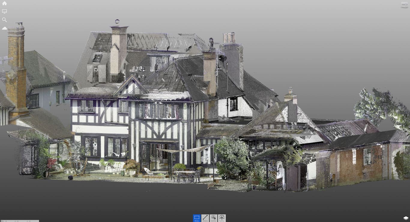
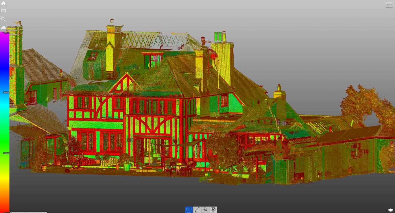
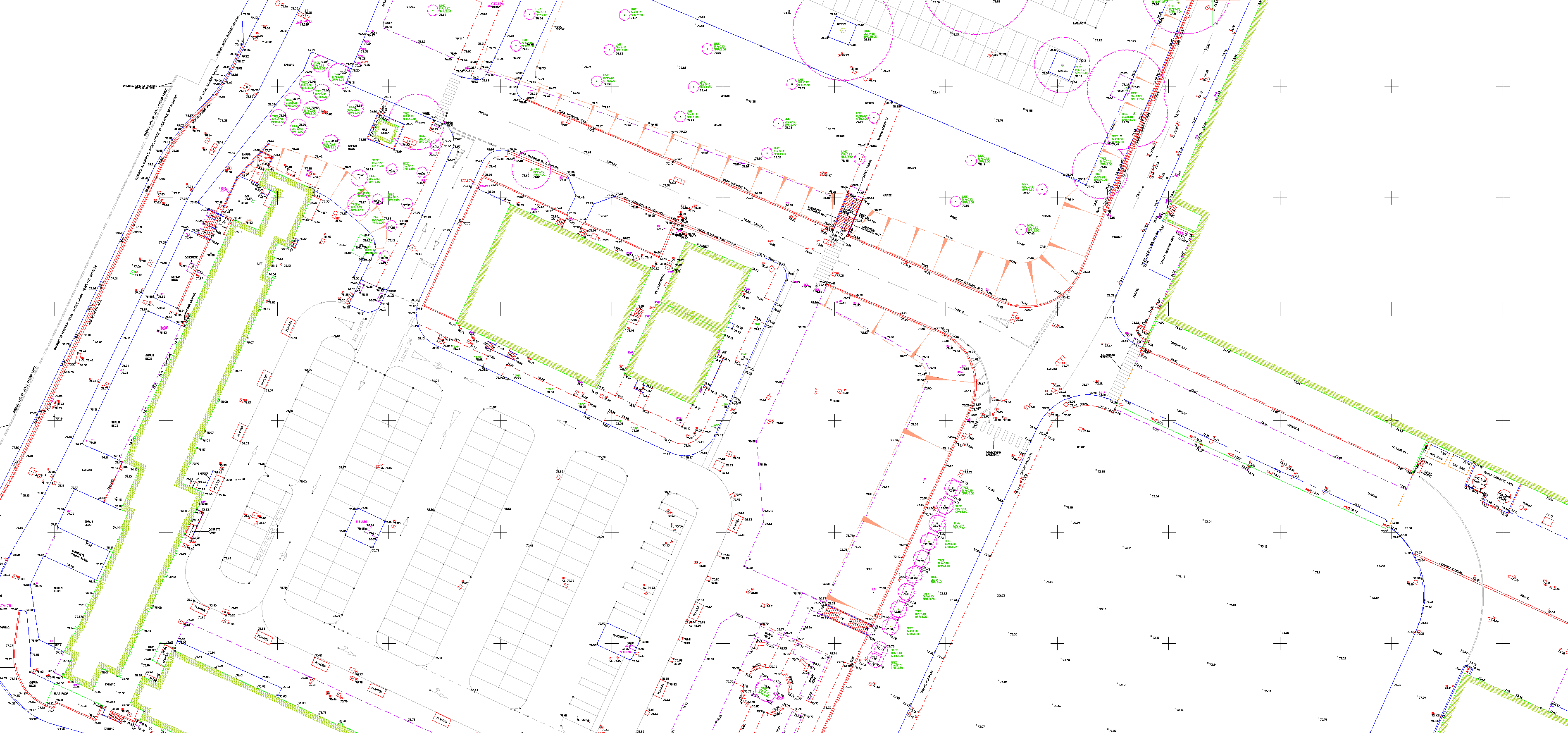
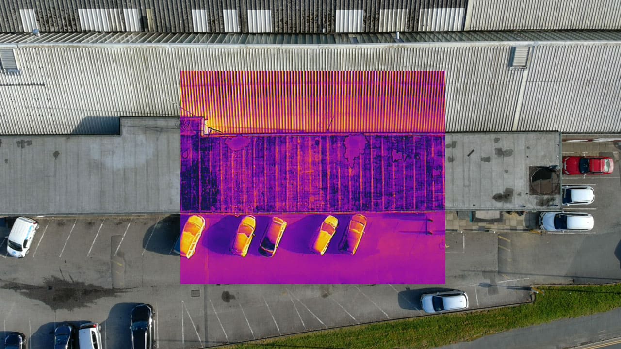
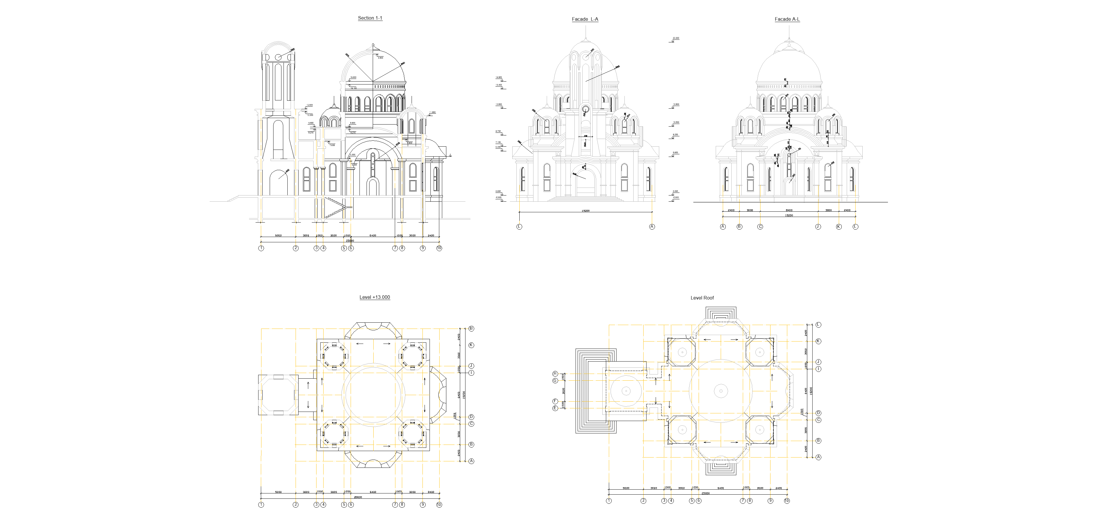
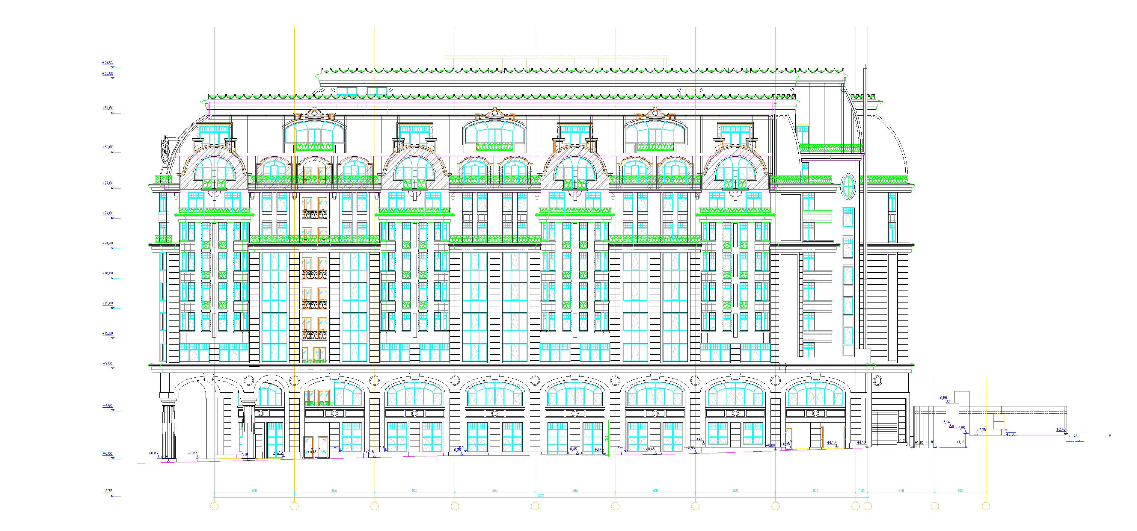
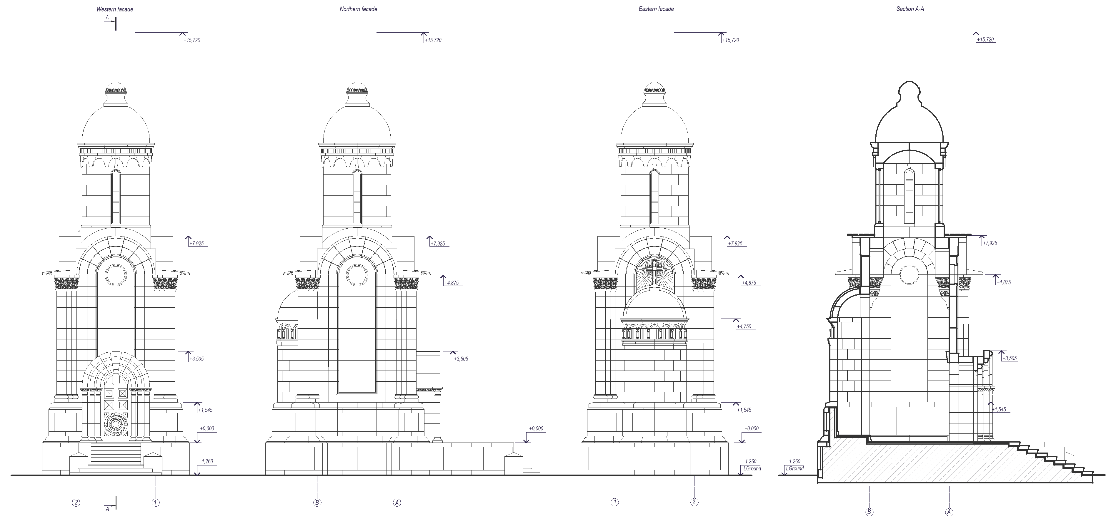
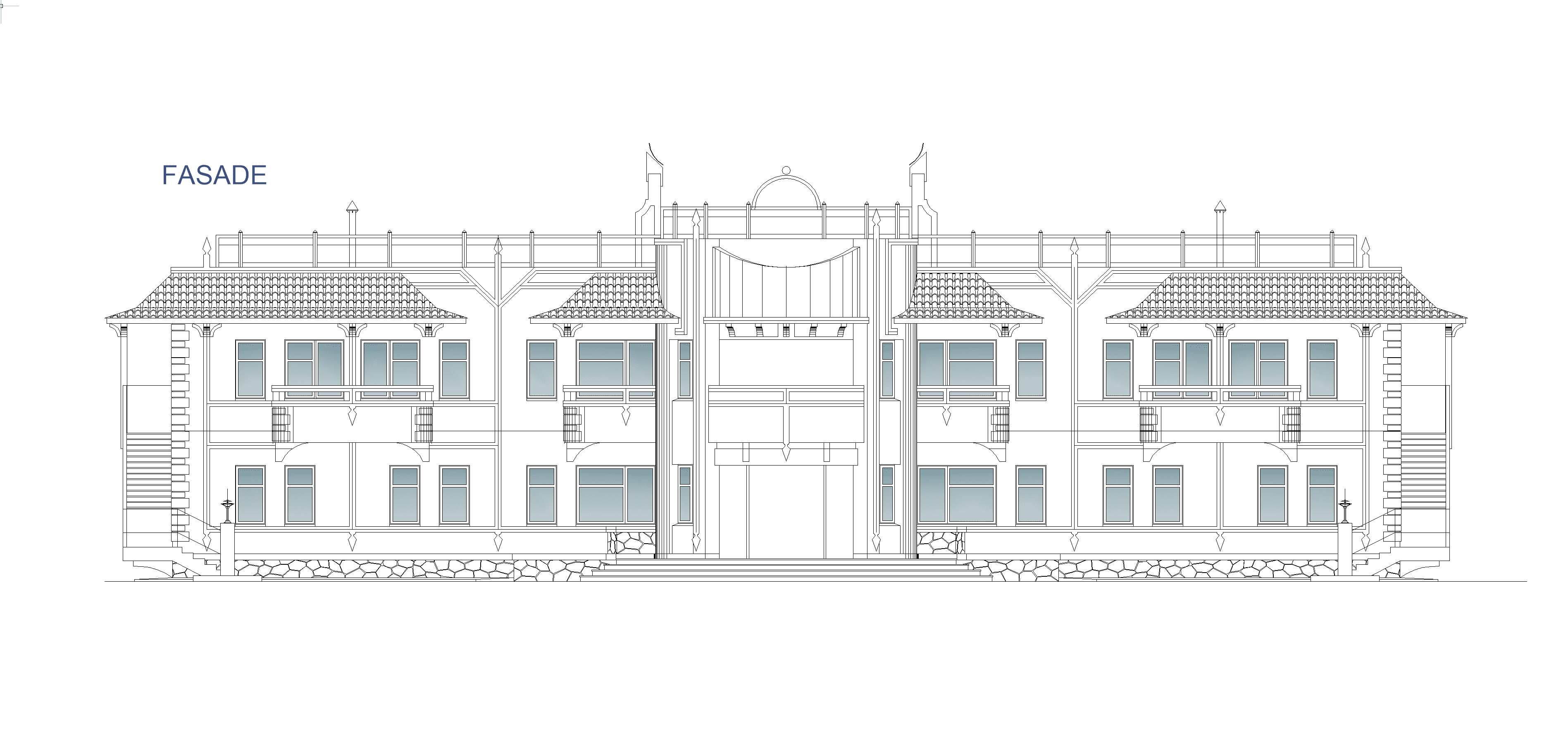
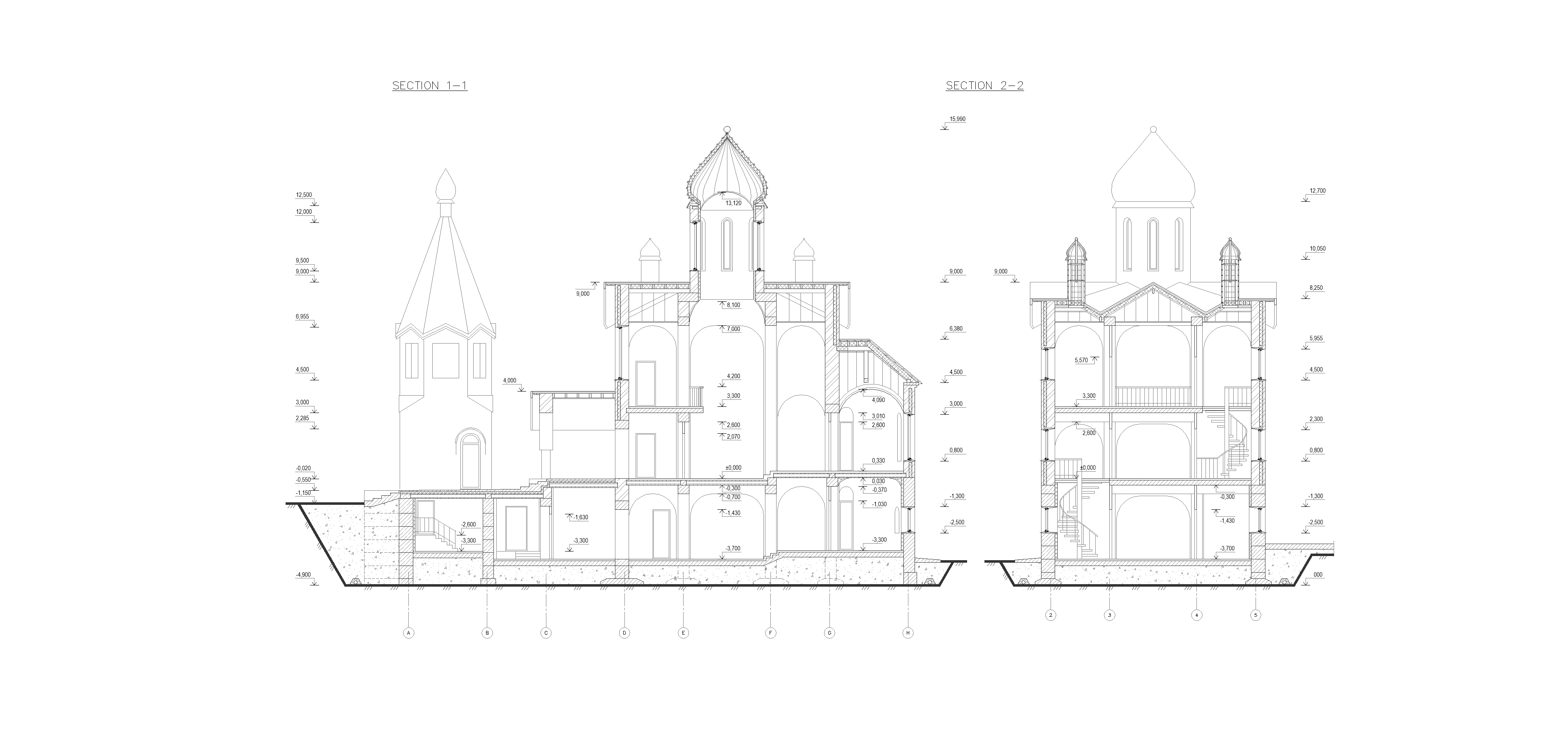
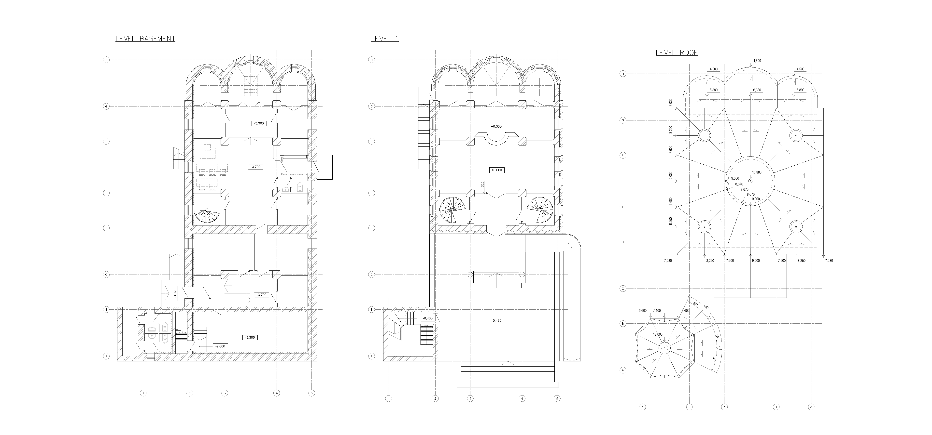
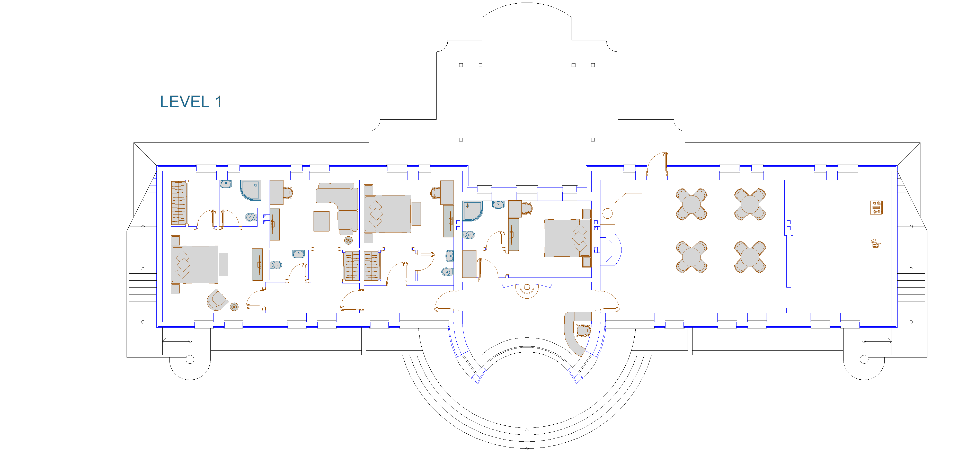
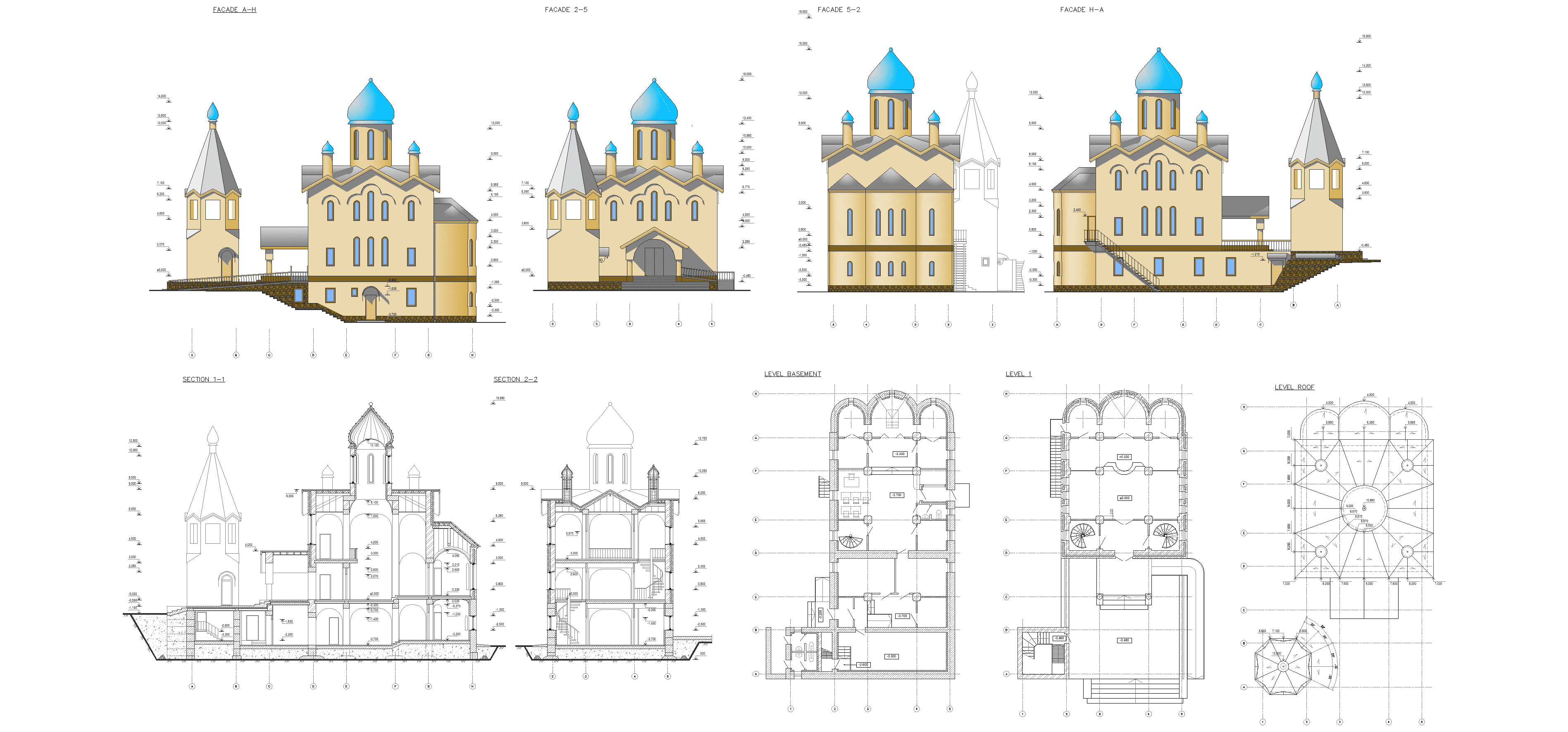
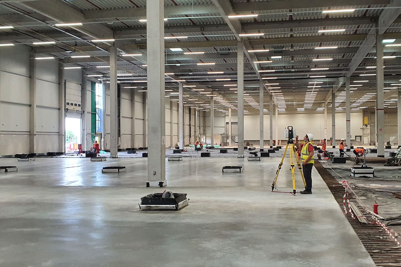
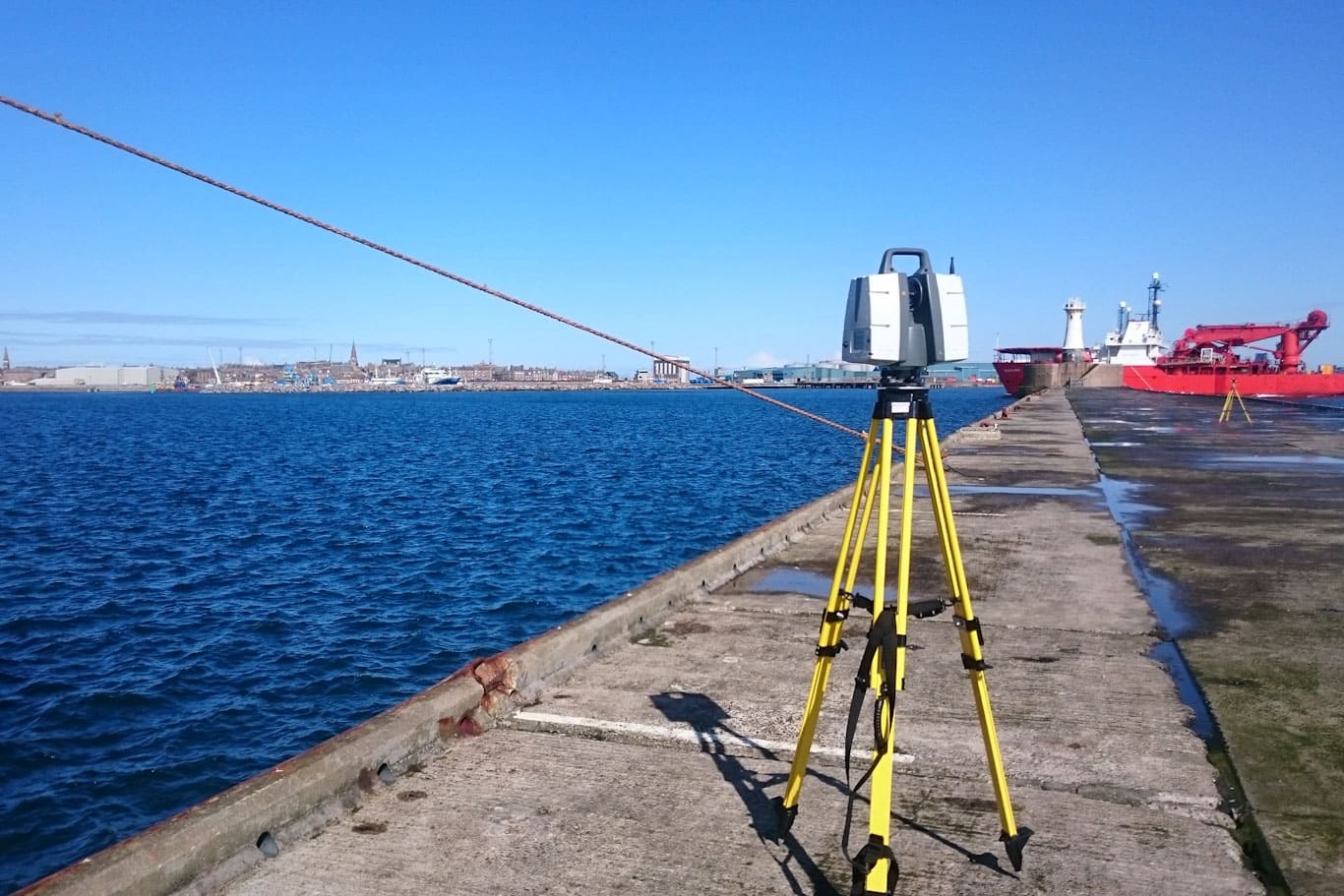
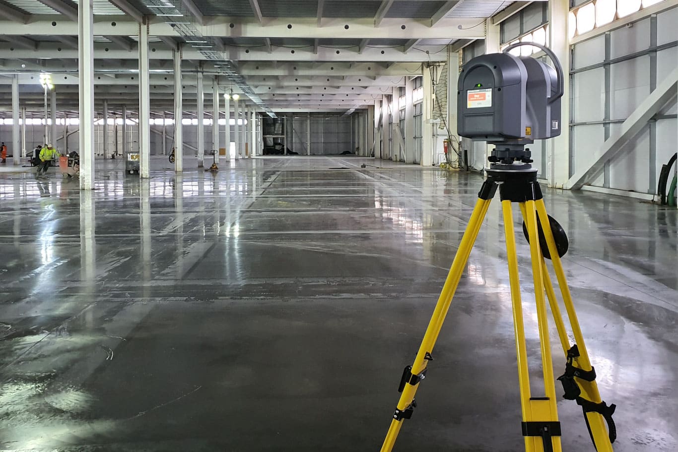
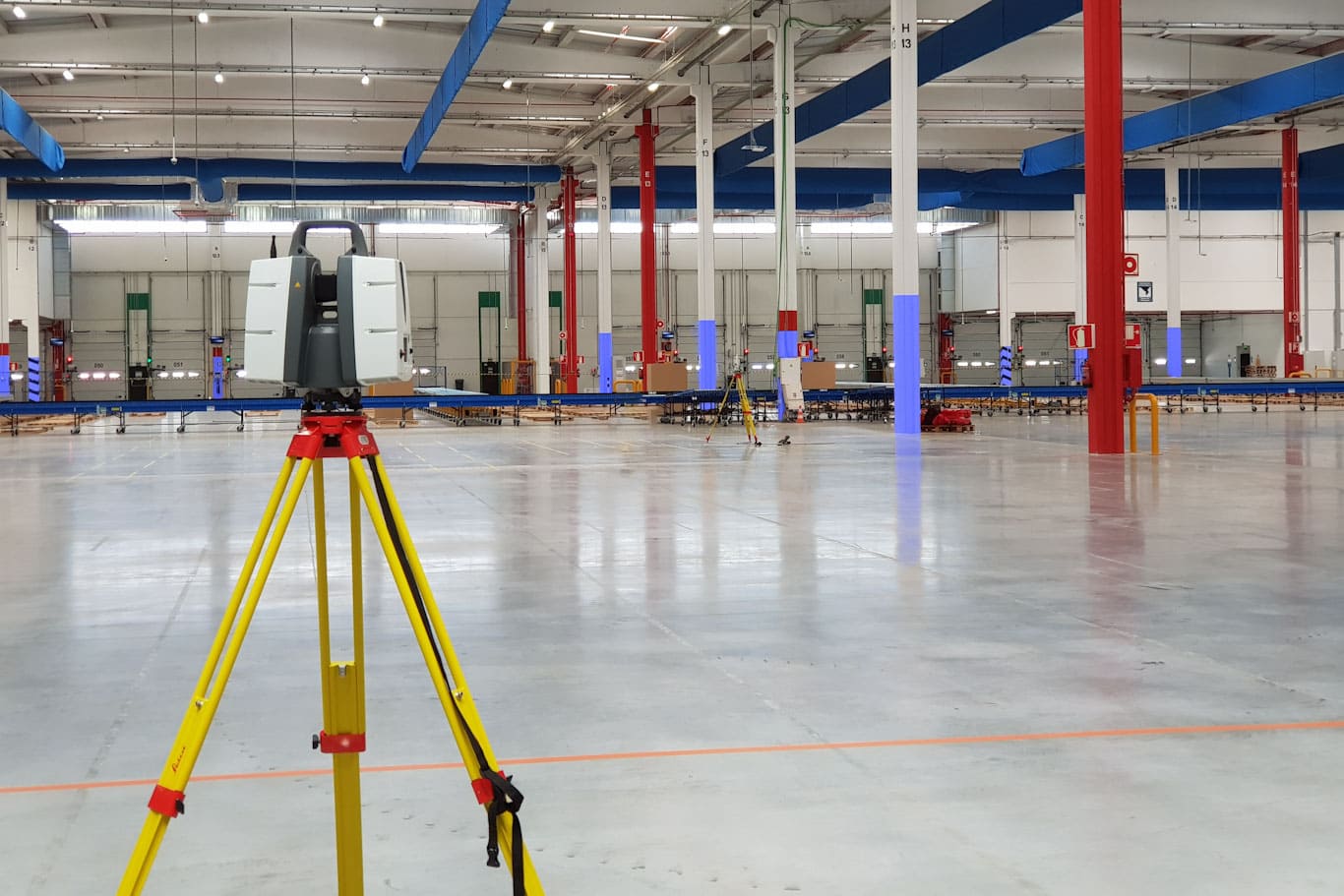
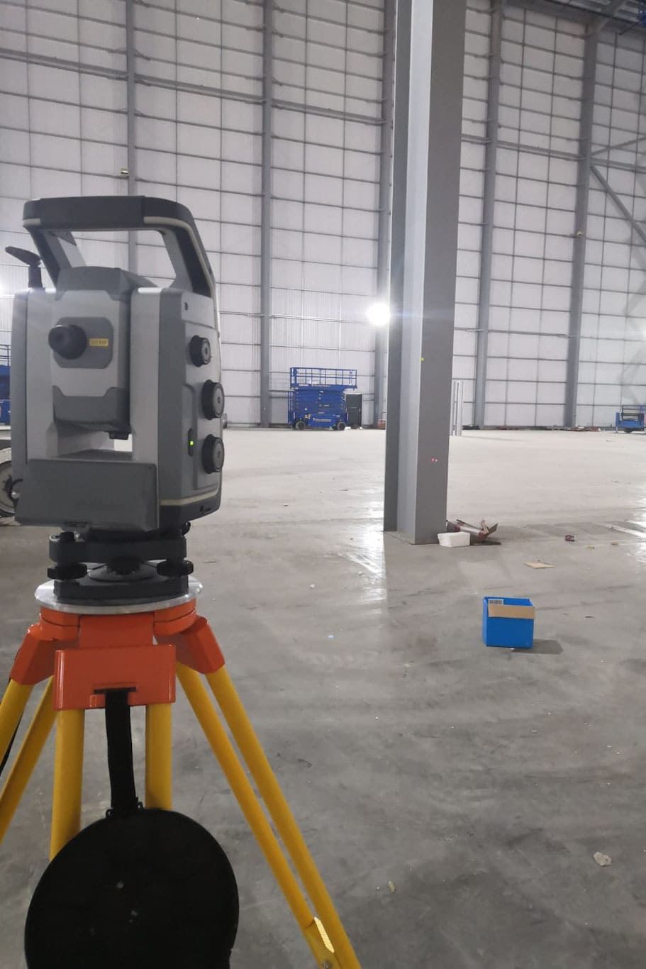
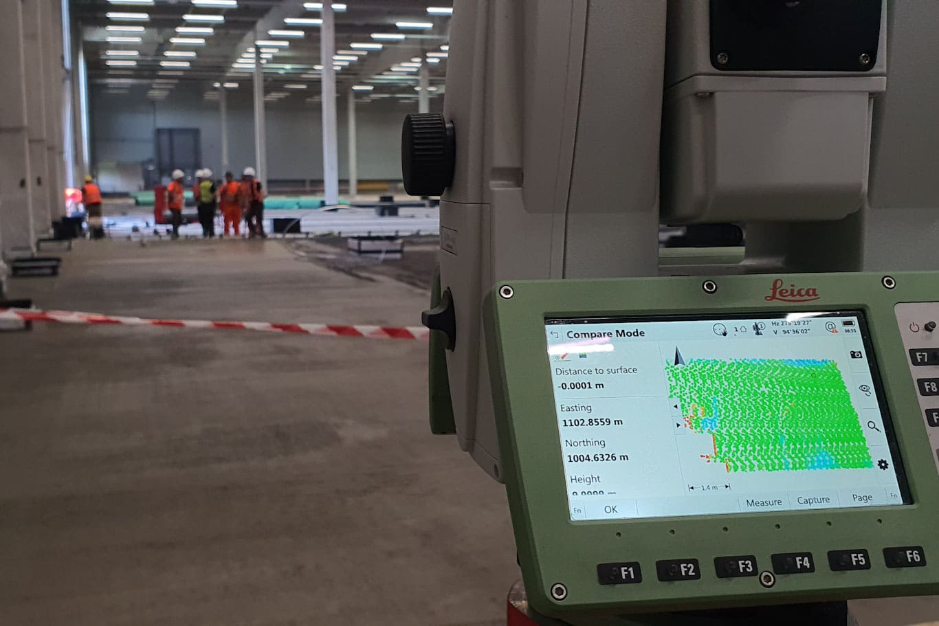
We Are Experts In Land Surveying & Measured Building Surveys

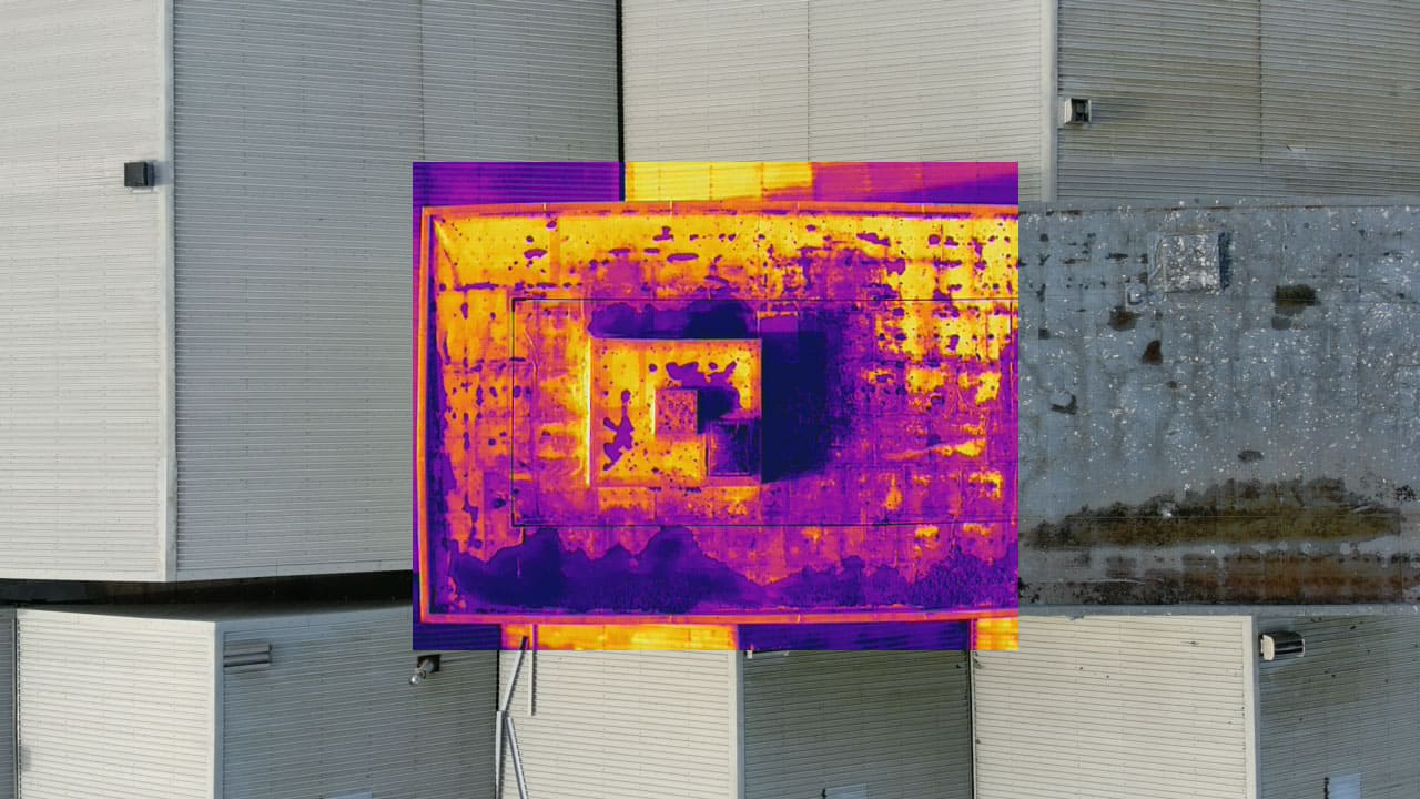
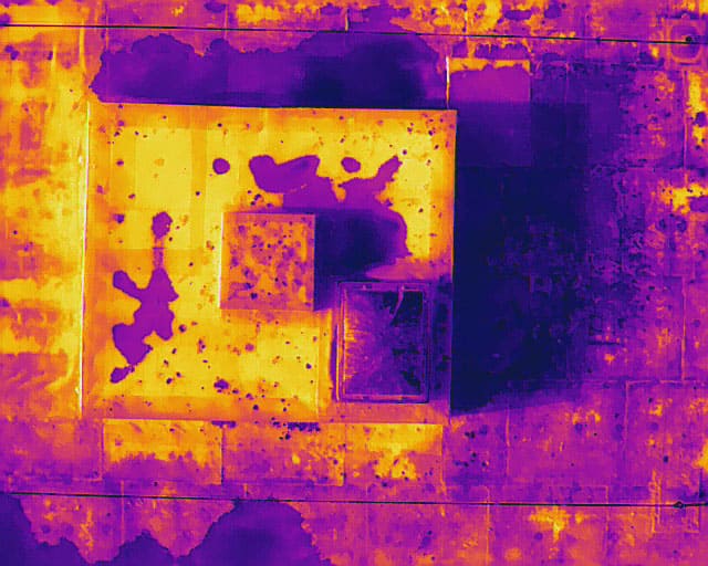
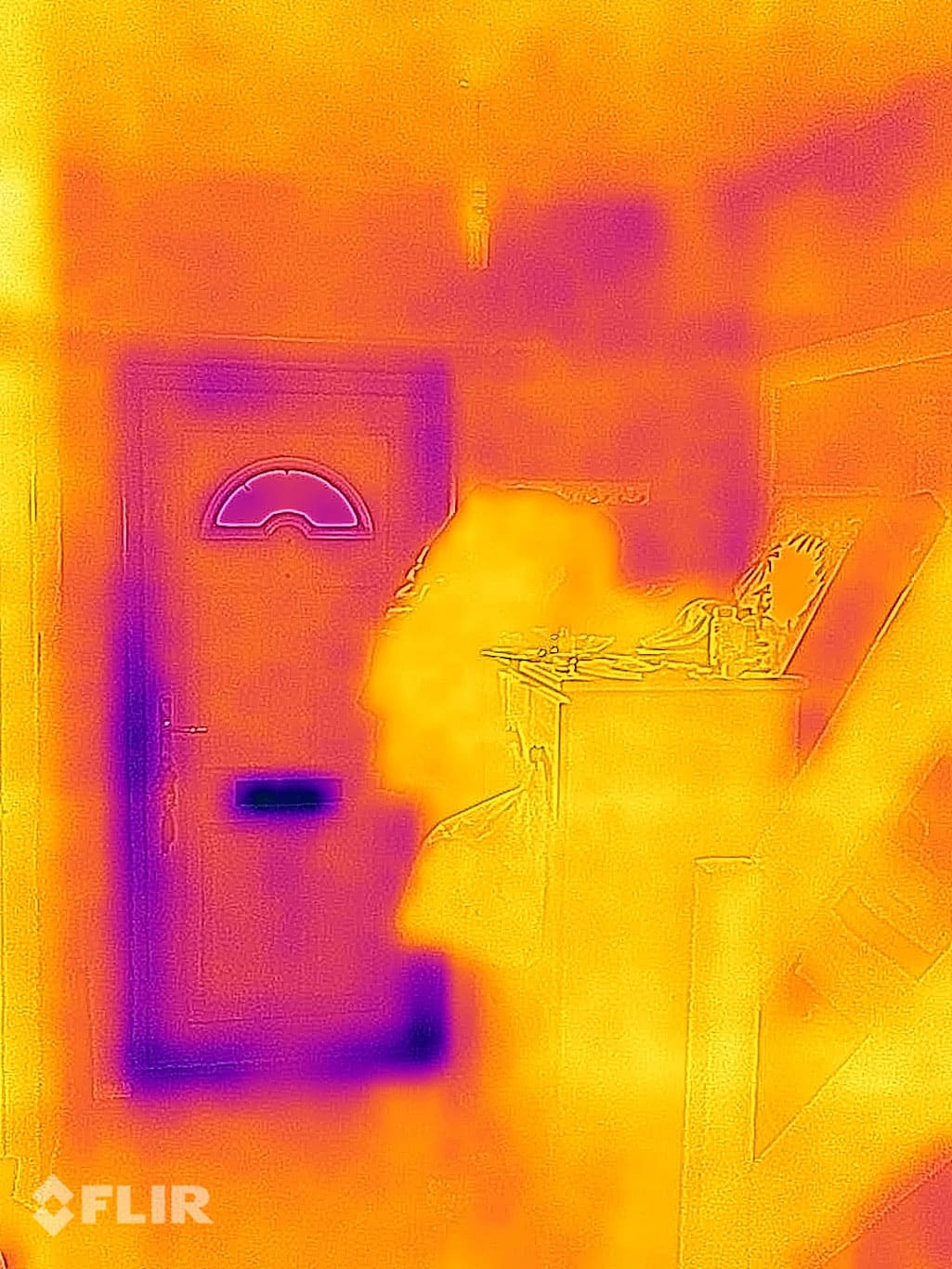
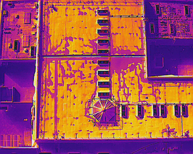
We collaborate with architects, property agents, and landlords on various projects including new builds, extensions, remodels, refurbishments, and retrofits.

With our extensive experience in commercial, education, industrial, public, retail, and residential sites, we bring creativity and expertise to every project we undertake.
Contact Us
  • Measured Building Survey
  • GIA and NIA Lease plans
  • Internal floor plans
  • Detailed building cross sections and elevations
  • New Construction Verification / As-built
  • Thermal Imaging, heat loss/gain and leak detection
  • UAV / Drone Surveying and Inspection Services
  • Structural Steel Probability Analysis
  • 3D CAD and REVIT / BIM Modelling
Contact Us

Do not hesitate to get in touch with us

Contact Us
Copyright © 2024 4D Surveys Ltd.
linkedin facebook pinterest youtube rss twitter instagram facebook-blank rss-blank linkedin-blank pinterest youtube twitter instagram